
Watershed Analysis and Hydrologic Studies
Hydrologic Studies in Southwest Florida
Most drainage questions get answered at the scale of your parcel. How much rain falls on the site, where it goes, how big the pond has to be. That’s the right scale for most projects.
But some questions don’t stop at the property line. When a reviewer pushes back on your drainage design, they’re often asking what your project does to everyone downstream. And when your driveway, road, or bridge crosses a ditch or a creek, the question becomes how much water arrives at that crossing from everything upstream, in the worst storm anyone expects it to face.
Answering those questions takes a watershed analysis. Creek Engineering prepares hydrologic studies and watershed analyses for owners, developers, and contractors across Southwest Florida, and takes them through the agencies that review them.
What Is a Hydrologic Study?
A hydrologic study calculates how much stormwater reaches a given point, how fast, and how high it rises, for a defined storm. A watershed analysis is a hydrologic study drawn at the scale of the whole drainage area: every upstream source feeding a creek, ditch, or crossing, and the effect of a project on the properties downstream.
The difference matters because the two produce very different numbers. A site-level calculation might show your quarter-mile of road generates a modest amount of runoff. A watershed analysis of the creek that road crosses might show that, in an extreme storm, several square miles of land drain through the one culvert you were planning to buy off the shelf.
Engineers often pair the hydrologic study (how much water arrives) with a hydraulic study (what that water does at the structure: the depth, the velocity, whether it overtops the road). Together they’re called an H&H study, and on a crossing you almost always need both.
When you need one
Most projects don’t need a study that leaves the site. These are the situations where one comes up, and which kind it usually is:
- You’re crossing water. A driveway, road, culvert, small bridge, or private bridge over a swale, ditch, creek, or stream. Any work in, on, or over wetlands or other surface waters needs a state Environmental Resource Permit, and the crossing has to be sized for the flow that actually reaches it. If the Army Corps claims the water, this is where a full watershed analysis comes in.
- A county or city reviewer wants to see what your site changes do upstream and downstream, not just on-site storage. That’s usually a site-scale HEC-RAS study (more on the difference below).
- Your property drains to a state road. FDOT reviews drainage connections to its right of way against a 100-year storm (more on that below).
- You’re working in or near a mapped floodplain, where the reviewing agency wants to know your project doesn’t raise flood levels for anyone else.
- Your site sits in a closed basin, one with no outlet, where volume matters as much as the peak flow rate.
If none of these apply, a standard site stormwater design is usually the right tool, and we’ll tell you so.
The cheapest time to find out whether a creek is navigable is before you’ve designed the road, bought the culvert, or closed on the land.
Testimonials From Our Clients
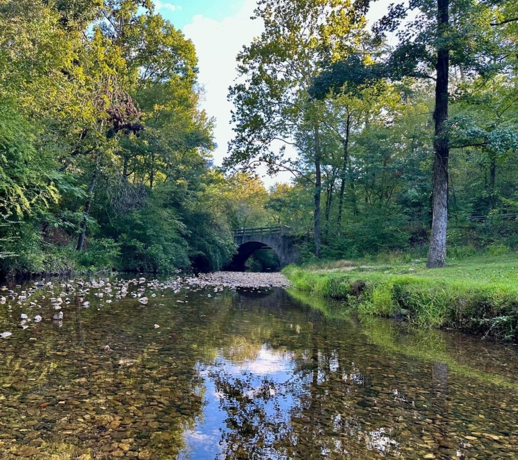
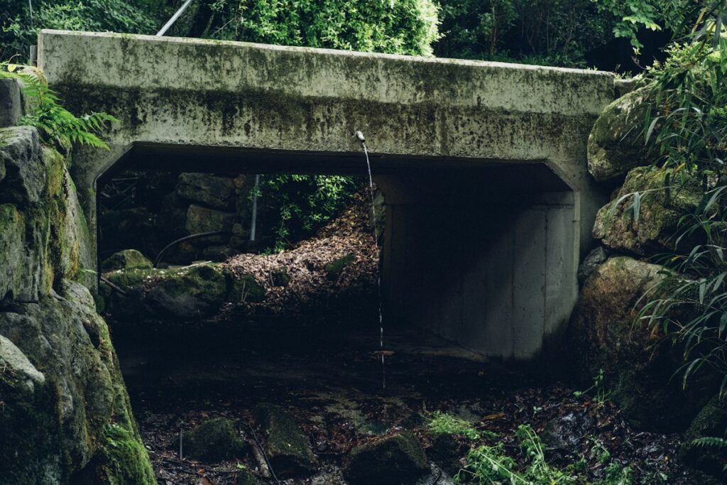
Crossing a Creek: The Question That Changes Everything
This is the part that isn’t published anywhere in one place.
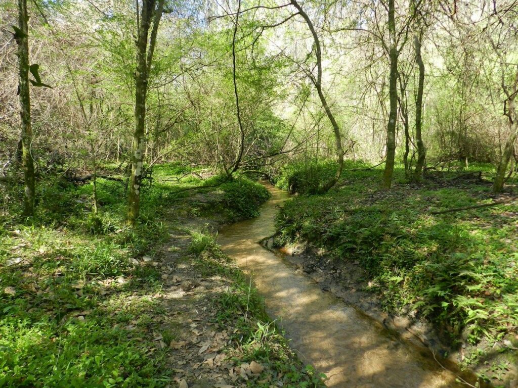
When a creek, stream, swale, or ditch runs through a property, the first step is the same one you’d take for wetlands: a request to the U.S. Army Corps of Engineers for a jurisdictional determination. The question that matters most is whether the Corps claims that water as jurisdictional or navigable, or treats it as a drainage feature.
It’s a fair question to ask, and not an obvious one to answer. The Corps’ Jacksonville District publishes lists of the Florida waters it regulates as navigable, but says plainly that the lists aren’t complete, and that a creek missing from the list isn’t necessarily outside its jurisdiction. The only way to know is to ask.
If the Corps claims the waterway, the Corps has to approve the crossing, and the standard changes. In our experience, the Corps holds those crossings to a 500-year flood event rather than the storms a typical site is designed for. To show that a culvert or bridge holds up to that, we have to go upstream, find the pipes, culverts, and drainage areas feeding the creek, and model how much water reaches the crossing. That’s the watershed analysis.
Erik Colleen at Creek describes the work as stress testing, not pressure testing. The question isn’t how much pressure a culvert can take. It’s whether the crossing still works when the whole watershed arrives at once.
That can sound like an extreme standard for a private driveway. It’s worth understanding why it exists. The Corps isn’t evaluating your house. It’s evaluating what your culvert does to the hundred houses around it, and which pieces of infrastructure can be relied on when a disaster does come. A crossing that fails in a big storm doesn’t just wash out the owner’s road. It can back water up onto neighbors upstream, or send a slug of debris and water downstream all at once. That’s not an unreasonable position. Somebody has to plan for the worst day.
There’s an upside to clearing the highest bar first. In our experience, once the Corps approves a crossing, the county usually follows, because the design is well beyond what the county would require on its own.
One more thing that catches careful owners: each agency answers only its own question. A state environmental reviewer can approve your wetland impacts and never mention the Corps, the stormwater desk, or the navigability question. That’s not a failure on anyone’s part; they’re each doing their own job. But nobody is assigned to tell you there’s another desk. Mapping all of them before you design the crossing is a big part of the job.
A HEC-RAS Study and a Watershed Analysis Are Different Jobs
The two can sound like the same thing. They answer different questions, at different scales, for different reviewers, and knowing which one you’ve been asked for changes the scope and the budget.
| HEC-RAS study | Watershed analysis | |
|---|---|---|
| What it covers | Your site, plus what’s immediately upstream and immediately downstream | Everything that drains through your crossing from upstream |
| Design storm | A major flood, typically the 100-year event | The 500-year event |
| Who usually asks | The county or city | The Army Corps, on a waterway it claims as jurisdictional or navigable |
| Upstream pipes | Part of the immediate picture | Counted at full capacity, every one |
| The question | What do the changes on this site do in a major flood? | At what point does the crossing fail? |
| Who approves | The county or city | The Corps has to approve; the county usually follows |
HEC-RAS (the Hydrologic Engineering Center’s River Analysis System) is the Army Corps’ own modeling software, and we run it in-house for projects anywhere in the country. When a county or city asks what a project does to the property and its immediate neighbors in a flood, this is the study that answers it.
A watershed analysis asks a harder question. Picture five pipes upstream, each 12 to 18 inches across, all feeding the creek where you plan to put a 10-foot pipe. Assuming a 500-year storm, how much water could come down through that crossing, and at what point does it get overtopped and stop passing water? The upstream pipes are counted as flowing completely full. In a storm that size they’re probably overflowing too, but nobody can know that, so the model takes them at full capacity.
How far upstream to go isn’t a fixed number. Often it’s the nearest pipes within a quarter to a half mile, and where it matters, we ask the Corps how far it wants the analysis to go. The goal is to show the due diligence was done.
FDOT frontage and the 100-year storm
If your property drains toward a state road, the Florida Department of Transportation reviews that connection separately from the county and the water management district. Under the state transportation department’s drainage connection rule, the analysis has to consider storms up to and including a 100-year event of up to three days’ duration (up to ten days where the basin has no outlet), and your post-construction discharge to the right of way can’t exceed what it was before.
Very small improvements can qualify for an exception, but the conditions are narrow. On most commercial frontage, plan on the 100-year analysis.
Hydrologic Modeling: What We Actually Build
A watershed analysis is a model, and the model is only as good as its inputs. Here’s what goes into ours:
- Delineating the watershed. We start from a survey by a licensed surveyor (Creek doesn’t run a survey crew), plus topography and existing drainage records, and map every area that drains to the point in question. That includes the inventory of upstream pipes and culverts, some of which aren’t on any map until someone walks them.
- Building the hydrologic model. Rainfall for the design storm, soils, land cover, and how quickly each sub-area delivers water to the next. The output is a runoff hydrograph: how much water arrives at the crossing, minute by minute.
- Modeling the structure. The hydraulic side: what that flow does at the culvert or bridge, whether it overtops the road, and what it does to water levels upstream and down. We build the models in-house, using industry-standard software such as ICPR and HEC-RAS, the tools the reviewing agencies expect to see.
- Testing the design. We size the crossing, run it against the storms the reviewing agencies require, and adjust until it holds.
- The report. A signed and sealed hydrologic and hydraulic report, built to what the reviewer needs to approve it.
What it costs, honestly
A watershed analysis is a real undertaking, and pretending otherwise wouldn’t help you. When a crossing has to be modeled against a 500-year storm, the model alone is typically a $20,000 to $30,000 piece of work, and that’s before the Corps process and before anything is built.
That number is exactly why the order matters. The cheapest time to find out whether a creek is navigable is before you’ve designed the road, bought the culvert, or closed on the land. If the answer changes the project, you want to know while you still have choices: a different crossing location, a different access point, or a different parcel. We’d much rather give you an off-ramp early than a surprise late. If you’re still evaluating a property, a lot feasibility study is the place to raise it.

Locations We Serve
We’re based in the city of Port Charlotte and serve the entire area of Southwest Florida, especially the following counties:
- Charlotte County – Port Charlotte, Punta Gorda, Deep Creek, Rotonda West, Cleveland, Burnt Store, Charlotte Harbor, etc.
- Collier County – Naples, Everglades City, Naples Manor, Goodland, etc.
- DeSoto County – Arcadia, Ft. Ogden, Nocatee, etc.
- Glades County – Moore Haven, Buckhead Ridge, Palmdale, Lakeport, Ortona, etc.
- Hardee County – Wauchula, Bowling Green, Zolfo Springs, Ona, Limestone, etc.
- Hendry County – LaBelle, Harlem, Clewiston, Montura, etc.
- Highlands County – Sebring, Avon Park, Lake Placid, Lorida, Venus, etc.
- Hillsborough County – Tampa, Ruskin, Plant City, etc.
- Lee County – Bonita Springs, Fort Myers, Cape Coral, Estero, etc.
- Manatee County – Bradenton, Lakewood Ranch, Bayshore Gardens, Palmetto, etc.
- Sarasota County – North Port, Venice, Sarasota, Englewood, Nokomis, etc.
Who Reviews It in Our Counties
Depending on where the project is and what it touches, a watershed analysis can go in front of several agencies:
- The water management district, through the Environmental Resource Permit. Sarasota, DeSoto, and Manatee counties fall under the Southwest Florida Water Management District. Lee, Collier, and Hendry fall under the South Florida Water Management District. Charlotte County is split between the two, so the first question on a Charlotte project is which district it sits in.
- The U.S. Army Corps of Engineers, Jacksonville District, for jurisdictional determinations and, on waters it claims as jurisdictional or navigable, approval of the crossing itself. The Corps can also say how far upstream it wants the analysis to reach.
- FDOT, where your property drains to a state road.
- The county or city, through site plan or development review, floodplain management where it applies, and the site-scale HEC-RAS studies they sometimes ask for. Where the Corps has approved a crossing, in our experience the county usually follows.
These desks don’t review together, and they don’t always talk to each other. Reconciling them is the job. If you want to see how many offices a civil project actually runs through, our Southwest Florida building departments guide lays them out.
A case in progress
A homeowner in DeSoto County wanted a road across a wetland and over a branch creek to reach a house pad. He did a lot right on his own: the survey, the wetland delineation, the state environmental review. Then two questions surfaced that no one had raised. The environmental reviewer had signed off on a culvert in the creek, but that reviewer isn’t the Army Corps and can’t approve an obstruction in a waterway. And his roughly 7,000 square feet of road was well over the state’s 4,000-square-foot threshold for surfaces carrying vehicles, which brought in a full stormwater design: swales on both sides of the road and both sides of the creek, a much wider road corridor, and several feet of fill at the crossing. Whether the creek is navigable is still being determined. If it is, the watershed analysis comes next.
Why Creek
We’ve been serving Southwest Florida since 2002. Civil, environmental, geotechnical, and septic engineering sit under one roof here, which matters on a crossing more than almost anywhere: the wetland delineation, the navigability question, the stormwater design, and the hydrologic study are all parts of the same answer. The modeling is done in-house, and you work with the same people from the first site visit through the final permit.
Partners & Organizations


Let's Talk About Your Watershed Analysis
Send us what you have. A survey, a sketch of where you want to cross, and any letters or review comments you’ve received are enough to start. Use the form below or call (941) 624-6425.
Watershed Analysis and Hydrologic Studies
Frequently Asked Questions
A hydrologic study calculates how much stormwater reaches a specific point, how fast it arrives, and how high it rises during a defined storm. It’s used to size culverts, bridges, ponds, and outfalls, and to show reviewers what a project does to properties upstream and downstream.
A watershed analysis is a hydrologic study drawn at the scale of the entire drainage area rather than one parcel. It accounts for every upstream source that reaches a creek or crossing, which is why it’s required when a project crosses water or affects downstream properties.
A HEC-RAS study looks at your site plus what’s immediately upstream and downstream in a major flood, typically the 100-year event, and is usually requested by the county or city. A watershed analysis assumes a 500-year event, counts every upstream pipe at full capacity, and finds the point where your crossing gets overtopped. It’s usually what the Army Corps wants on a waterway it claims.
H&H stands for hydrologic and hydraulic. The hydrologic part calculates how much water arrives; the hydraulic part shows what that water does at a culvert, bridge, or channel, including depth, velocity, and whether it overtops the road.
Generally, yes. Any work in, on, or over wetlands or other surface waters requires a state Environmental Resource Permit, and the Army Corps of Engineers may also have jurisdiction. A jurisdictional determination from the Corps is the way to find out.
Ask the Corps. The Jacksonville District publishes lists of Florida waters it regulates as navigable, but states that the lists are incomplete. A jurisdictional determination request, similar to the process for wetlands, gives you an answer specific to your property.
If the Army Corps claims the waterway as jurisdictional or navigable, the Corps has to approve the crossing. In our experience, the county usually follows once the Corps approves, because the design is well beyond what the county requires. The state Environmental Resource Permit is still required separately.
It depends on who reviews it. Drainage connections to FDOT right of way are analyzed for storms up to a 100-year event, and county-requested HEC-RAS studies typically look at a 100-year flood. In our experience, the Army Corps holds crossings of waters it claims as jurisdictional or navigable to a 500-year event. Local and water management district standards also apply.
There’s no fixed distance. It often covers the nearest pipes and culverts within a quarter to a half mile, and where it matters, we ask the Corps how far it wants the analysis to reach.
No. Creek doesn’t run a survey crew. The model starts from a survey by a licensed surveyor, and if you already have one, send it with your first call.
It depends on the size of the watershed and the storm the crossing must be designed for. When a crossing has to be modeled against a 500-year storm, the model alone is typically $20,000 to $30,000, before the Corps process, which is why it’s worth finding out early.